Emergency Water Damage Repair
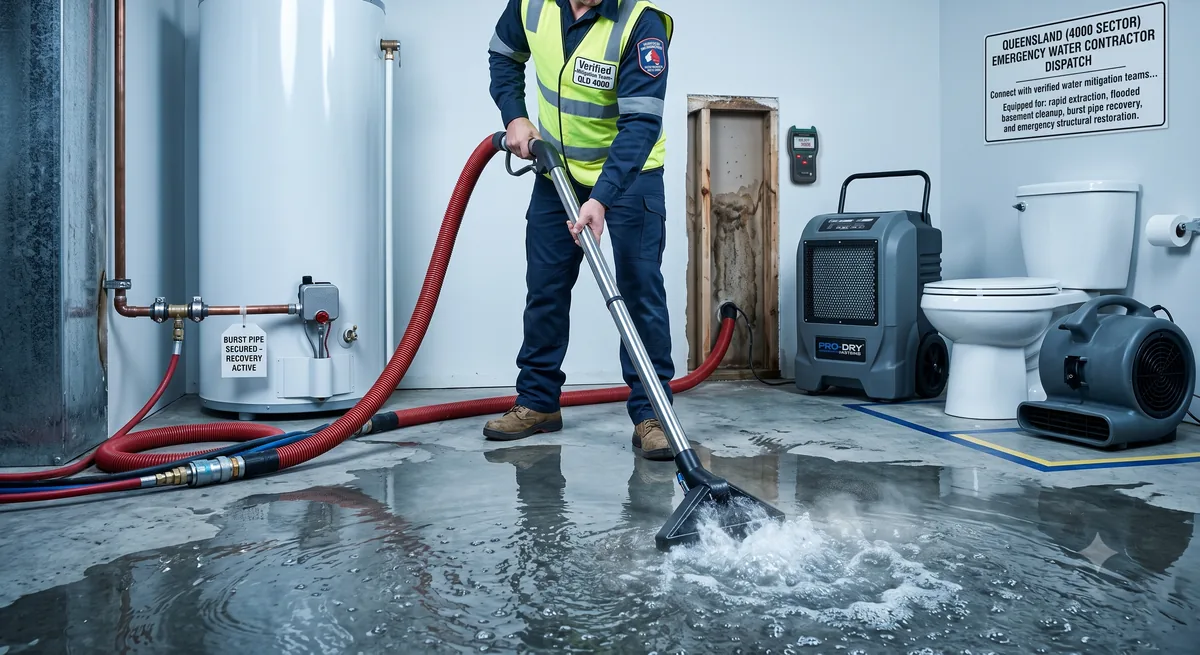
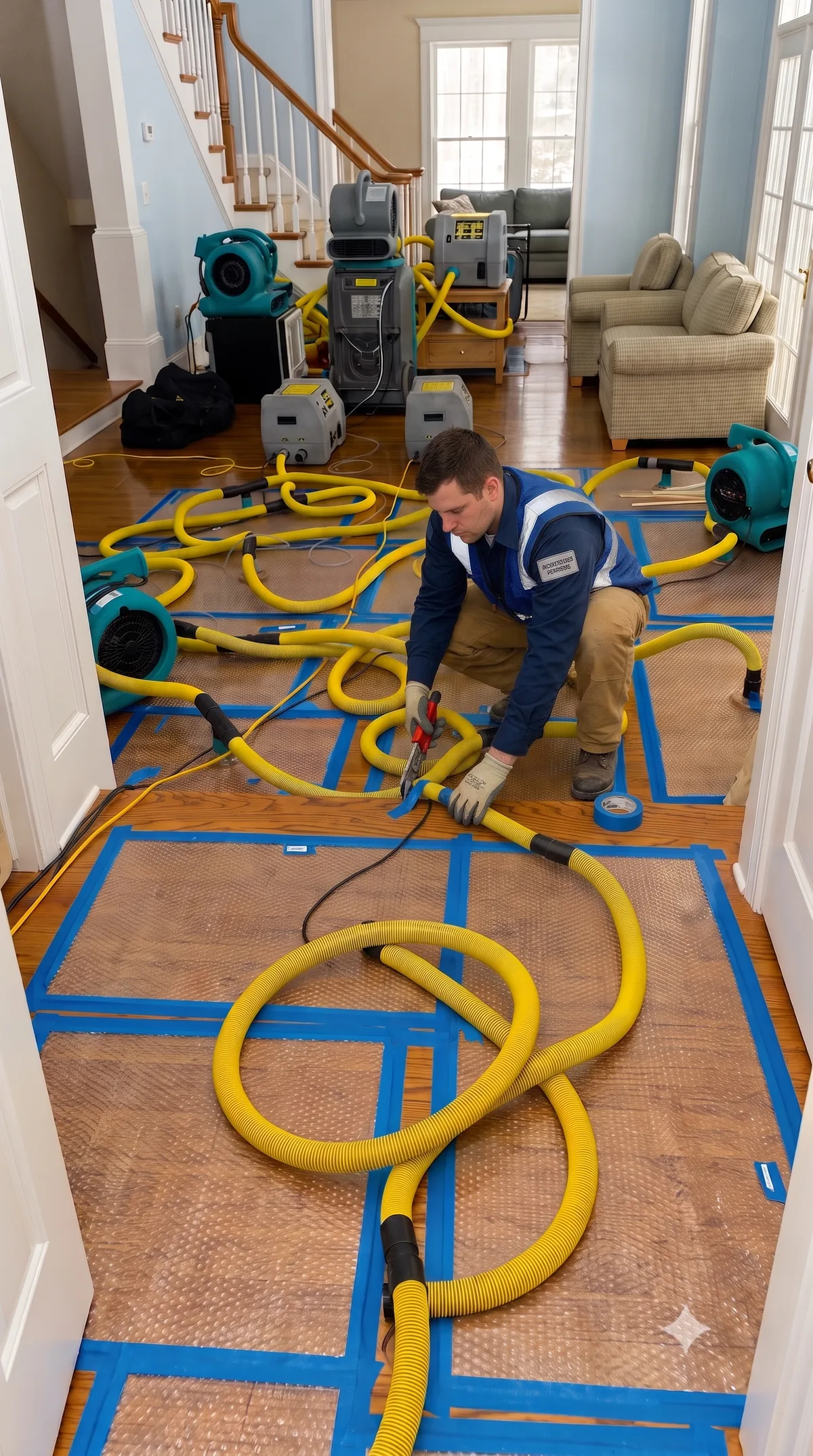
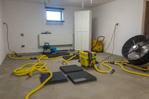
Water in your home? Local water-damage crews covering Fort Davis, Alabama (36031) for burst pipes, leaking appliances, and water through the ceiling or across the floor. Request extraction and drying — a crew will contact you.
Our Service Group Partner maintains: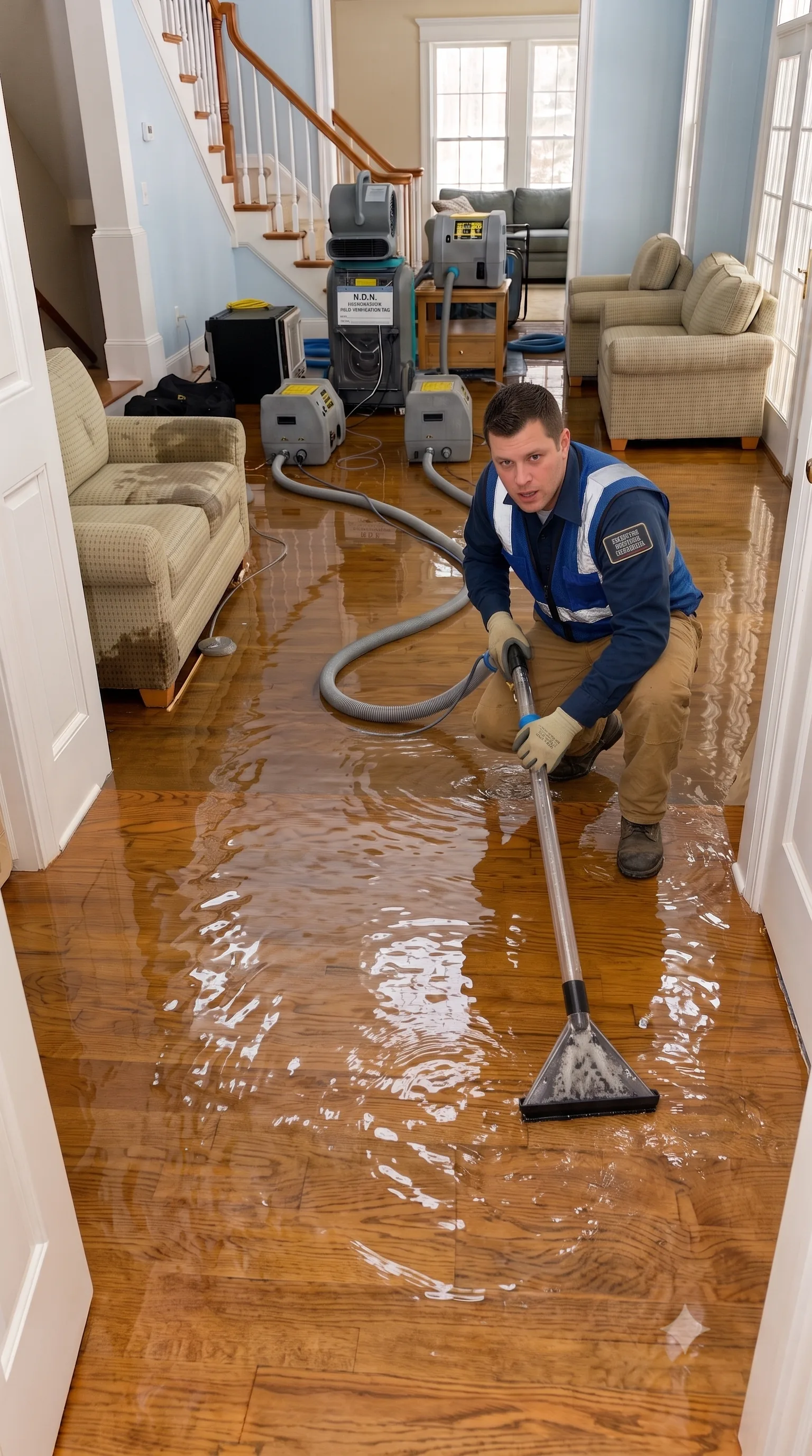
What to do right now
Safety first, then focus on limiting the damage:
- 01Do not walk into standing water until the power to the affected area is turned off at the breaker. If the switchboard itself is wet, call an electrician or your network operator.
- 02Stop the source of the water if you safely can—locate the main shut-off valve for a burst pipe, or the isolation valve behind a leaking appliance.
- 03Treat ground floodwater and sewage backups as highly contaminated. Keep children and pets entirely out of the area, and wear protective boots and gloves.
- 04Remove rugs, loose items, and furniture from wet floors. Place aluminium foil or plastic wrap under the legs of heavy wooden furniture to stop wood stains from permanently bleeding into wet carpets.
- 05Document the high-water mark. Take photos and videos of the standing water and damaged items before you begin any cleanup efforts.
- 06Begin extracting water immediately. Do not wait for an insurance adjuster to arrive before you start removing water; most policies require you to mitigate further damage.
Questions people ask about water damage
How quickly can mould start after water damage?
In warm environments, mould can begin growing on damp organic materials (like drywall and wood) within 24 to 48 hours. It often establishes itself behind baseboards or under flooring before it becomes visible. Speed of extraction and aggressive drying are your best defenses.
Can my carpet and flooring be saved?
Clean water caught immediately gives you the best chance of saving carpets, though the underlying pad usually needs replacing. Engineered wood and laminate flooring rarely survive standing water. Contaminated floodwater almost always dictates total removal. A restorer will use moisture meters to make the final call.
How long does structural drying take?
It typically takes several days of continuous commercial dehumidification and air movement. Keep in mind that materials may feel "dry to the touch" on the surface while remaining heavily saturated inside. Professionals rely on moisture meters, not touch, to declare a structure fully dry.
Does insurance cover flooding?
Storm-surge flooding, sudden burst pipes, and gradual hidden leaks are often treated as entirely separate categories with different coverage rules. Documenting the exact source of the water early on is critical to your claim process.
Sector Analysis: Grid 36031
Fort Davis • Alabama
Daily rainfall 0.48 in, peak gust 19 mph — below the drainage load we flag. Burst pipes and appliance leaks happen in dry weather regardless.
Fort Davis and the surrounding 36031 grid is sparse, at roughly 3 / sq mi of housing on public census figures, with a typical build year of 1970.